Redistricting
City of Fresno Redistricting Process
Every ten years, local governments use new census data to redraw their district lines to reflect how local populations have changed. Assembly Bill 849 (2019) requires cities and counties to engage communities in the redistricting process by holding public hearings and/or workshops and doing public outreach, including to non-English-speaking communities.
What is redistricting?
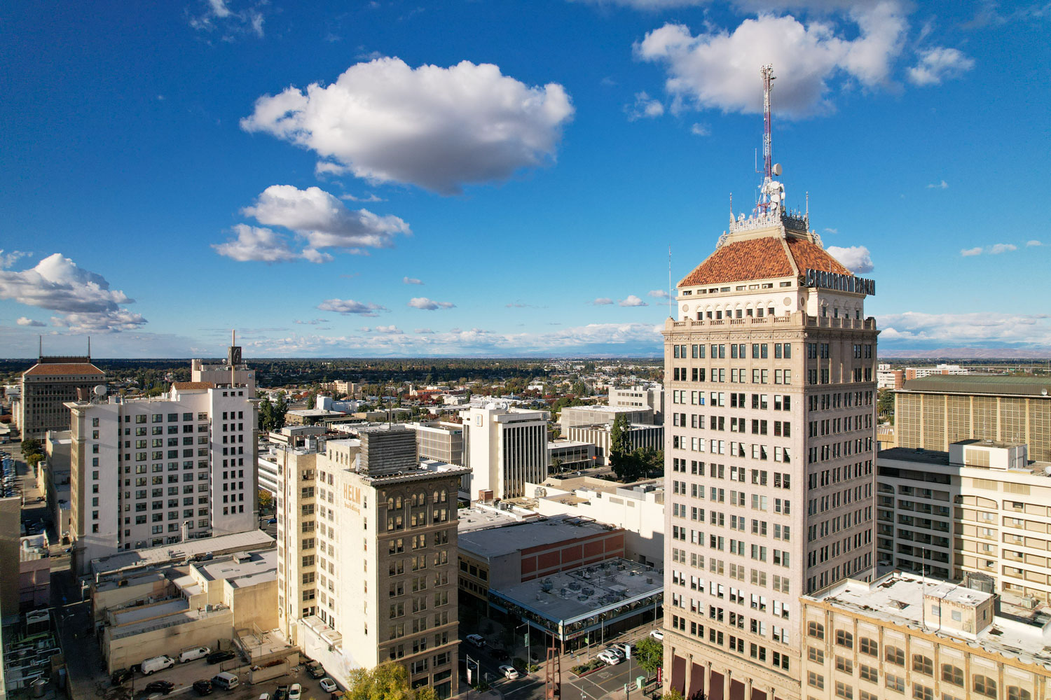
Every ten years, districts must be redrawn so that each district is substantially equal in population. This process, called redistricting, is important in ensuring that each city councilmember represents about the same number of constituents. In Fresno, the City Council is responsible for drawing council districts. Redistricting is done using U.S. Census data, which is released around March 31, 2021. For the City of Fresno, the redistricting process must be completed by December 15, 2021.
Why does redistricting matter to me?
Redistricting determines which neighborhoods and communities are grouped together into a district for purposes of electing a councilmember.
The City Council will seek input in selecting the next district map for our City Council. You have an opportunity to share with the City Council how you think district boundaries should be drawn to best represent your community.
You can contact the City at (559) 621.7837 to find out more about how the process works.
What do the existing council districts look like?
What criteria will our City Council use when drawing district lines?
To the extent practicable, district lines will be adopted using the following criteria: (1) geographically contiguous districts (each city council district should share a common border with the next), (2) the geographic integrity of local neighborhoods or communities shall be respected in a manner that minimizes its division, (3) geographic integrity of a city shall be respected in a manner that minimizes its division, (4) easily identifiable boundaries that follow natural or artificial barriers (rivers, streets, highways, rail lines, etc.), and (5) lines shall be drawn to encourage geographic compactness. In addition, boundaries shall not be drawn for purposes of favoring or discriminating against a political party.
Fresno’s Charter also requires that “no boundary shall be altered so as to exclude any incumbent from office prior to the expiration of that incumbent’s term.”
How will our City Council notify the public about redistricting?
The City Council will reach out to local media to publicize the redistricting process. Also, we will make a good faith effort to notify community groups of various kinds about the redistricting process. Our public hearings and workshops will be provided in applicable languages if residents submit a request in advance. The City Council will notify the public about redistricting hearings and workshops, post maps online before adoption, and create a dedicated web page for all relevant information about the redistricting process.
How can I get involved?
The City Council will be holding hearings and workshops to receive public input on where district lines should be drawn. Those hearings and workshops will be held on:
| Date | Time | Location | Supporting Docs |
|---|---|---|---|
| July 15, 2021 | 6:15 p.m. | City Council Chambers City Hall, 2d Floor 2600 Fresno Street Fresno, CA 93721 | 7/15 Agenda 7/15 Staff Report 7/15 Minutes 7/15 Video 7/15 Presentation 7/15 Correspondence |
| July 29, 2021 | 11:00 a.m. | City Council Chambers City Hall, 2d Floor 2600 Fresno Street Fresno, CA 93721 | 7/29 Agenda 7/29 Staff Report 7/29 Minutes 7/29 Video 7/29 Presentation 7/29 Correspondence |
| August 19, 2021 | 6:00 p.m. | City Council Chambers City Hall, 2d Floor 2600 Fresno Street Fresno, CA 93721 | 8/19 Agenda 8/19 Staff Report 8/19 Minutes 8/19 Video 8/19 Presentation 8/19 Correspondence |
| October 16, 2021 | 10:00 a.m. 2:00 p.m. 6:00 p.m. | Town Hall Meetings *Masks require10 a.m. Hoover High School (North Fresno) 5550 N First St, Fresno, CA 93710 2 p.m. Fresno City College (Central Fresno) 1101 E University Ave, Fresno, CA 93741 **Parking available at Lot K behind Old Administration Building 6 p.m. City Hall, Council Chambers (South Fresno) 2600 Fresno Street, Fresno, CA 93721 | 10/16 Community Notices Hoover High School Meeting Video Fresno City College Meeting Video City Hall Meeting Video 10/16 Presentation 10/16 Correspondence |
| November 4, 2021 | 6:00 p.m. | City Council Chambers City Hall, 2d Floor 2600 Fresno Street Fresno, CA 93721 | 11/4 Agenda 11/4 Staff Report 11/4 Draft Maps and Demographics Table 11/4 Minutes 11/4 Video 11/4 Presentation 11/4 Correspondence |
| December 2, 2021 | 6:00 p.m. | City Council Chambers City Hall, 2d Floor 2600 Fresno Street Fresno, CA 93721 | 12/2 Agenda 12/2 Staff Report 12/2 Minutes 12/2 Video 12/2 Presentation 12/2 Correspondence 12/2 Notice of Hearing |
| December 9, 2021 | 6:00 p.m. | City Council Chambers City Hall, 2d Floor 2600 Fresno Street Fresno, CA 93721 | 12/9 Agenda 12/9 Staff Report 12/9 Minutes 12/9 Video 12/9 Presentation 12/9 Correspondence 12/9 Notice of Hearing |
You can also submit public comments, including suggested draft maps, by emailing: [email protected], and the City will be providing online mapping tools at a future date.
Where can I find out more?
The City maintains this webpage on the city’s redistricting process. Please check back often for updates.
Additional Resources
City Manager’s Council District Report
Informational Presentations:
- Additional Information Fresno City Council 5-13-2021 Proposed Redistricting Timeline
- Additional Information PowerPoint Intro to Redistricting – City of Fresno 01-28-2021 ID 21-160
- Additional Information 21-22791 – 10047 Selection Committee Recommendation
- 7-15-21 Public Hearing: to receive input from the community regarding the redrawing of the election district boundaries (third update)
- July 15, 2021, Public Hearing Presentation
Selection of Demographic Consultant:
Bids:
- Bear Demographics & Research, LLC
- GEOinovo “Mapping” Solutions, Inc.
- National Demographics, Inc.
- Redistricting Partners
Staff Report
Selection Committee Recommendation
Mapping Tools
Presenting public mapping tools to assist the public in drawing maps. There are different tools for different purposes and different tools for different levels of technical skill and interest.
A variety of map-drawing tools will be available:
1. Paper-only maps for those without internet access or who prefer paper
Tools needed:
- Public Participation Kit – Paper Map w/ Population Count – English
- Public Participation Kit – Paper Map w/ Population Count – Spanish
- Alternatively, submit any form of hand-drawn map that identifies street names.
2. Paper maps with a Microsoft Excel spreadsheet to calculate population totals
Tools needed:
- Public Participation Kit – Paper Map w/ Population ID#s – English
- Public Participation Kit – Paper Map w/ Population ID#s – Spanish
- Public Participation Kit – Excel Spreadsheet – English
- Public Participation Kit – Excel Spreadsheet – Spanish
3. DistrictR a simple online map drawing tool to easily draw neighborhoods or communities of interest.
Tools needed:
4. Caliper’s Maptitude Online Redistricting mapping tool to draw maps census block by census block and submit maps electronically.
Tools needed:
- Maptitude Online Redistricting mapping tool
- Caliper Maptitude Online Redistricting demo
- Caliper Maptitude Online Quick Start Guide
5. Interactive Review Map to review, analyze, and compare maps, not to create them. Zoom in and out on map boundaries, view population counts/ID#s, and view draft maps (once the draft maps are released). Similar to Google Maps in ease of use.
Tools needed:
If you would like to submit a map created using your own software, please email to [email protected] and include: (1) a GIS Shapefile and/or a Census Block equivalency file (using 2020 Census Blocks); and, (2) a description of the choices and key points of your map.
Submit maps to [email protected]. After you submit your map, the demographic consultants will generate the population and other demographic details for your proposed map. Maps can be viewed on the [email protected] page or on the Interactive Review Map.
It is helpful if you submit written comments with your map describing how your map was drawn to meet the required criteria. An example of this would be describing the specific neighborhoods or communities of interest that are kept within a single district.
Maptitude “how-to” Video